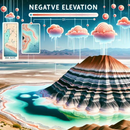
What does it mean to have a negative elevation?
When discussing negative elevation, it’s essential to understand that this term refers to locations that are situated below sea level. These areas, intriguingly, boast some of the world’s most unique geographical features. Negative elevation is a fascinating phenomenon that not only impacts the environment but also has significant implications for the people living in these regions.
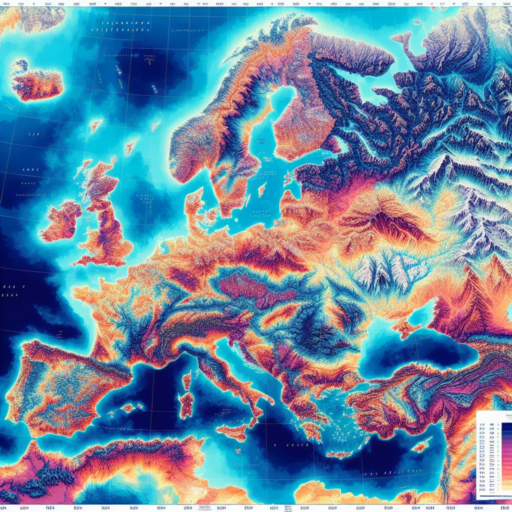
Areas with negative elevation are scattered across the globe, offering a window into a world that defies the normative understanding of geographic landscapes. These regions can be found from the vastness of the Dead Sea, which holds the record for the lowest dry land point on Earth, to the expansive below-sea-level plains of the Netherlands. The existence of such areas underlines the diversity and complexity of our planet’s topography.
The significance of negative elevation extends beyond just an intriguing fact. It plays a crucial role in environmental dynamics, including water flow, climate patterns, and ecological systems unique to these below-sea-level areas. Furthermore, human habitation in these regions involves innovative adaptations and often remarkable engineering projects to manage water levels and prevent flooding, highlighting the resilience and ingenuity of communities.
Is elevation negative or positive?
Understanding elevation involves grappling with the concept that it can be both negative and positive. Elevation is a term that describes the height of a point relative to sea level. This means that any landmass or geographical feature situated above sea level has a positive elevation. Contrastingly, features such as valleys or landforms below sea level, like the Dead Sea, showcase negative elevation.
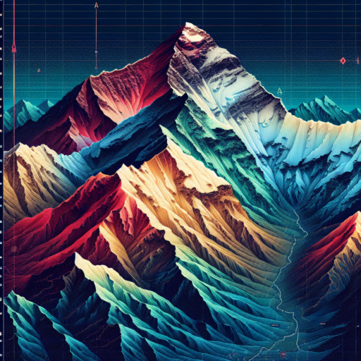
Positive elevation is typically associated with mountains, plateaus, and hills. These are areas where the surface of the earth rises above the sea level, creating landscapes that tower into the skies. For example, Mount Everest stands as a pinnacle of positive elevation, reaching heights that are unmatched globally.
Negative Elevation: A Closer Look
On the flip side, negative elevation presents a unique set of characteristics and phenomena. Locations like Death Valley or the Turpan Depression are below sea level, marking them with negative elevation values. These areas often exhibit extreme environmental conditions due to their lower altitude, influencing climate patterns and ecological systems in profound ways.
In summary, whether an elevation is deemed negative or positive depends purely on its measurement in relation to sea level. This concept is crucial in fields like geography, environmental science, and even aviation, where understanding the vertical positioning of features on the Earth’s surface is essential. Recognizing the dichotomy of elevation is key to appreciating the planet’s diverse landscapes and the dynamic processes that shape them.
What does 0 elevation mean?
The concept of 0 elevation stands as a benchmark in geographic and engineering contexts, signifying a point that is considered at sea level. This baseline is crucial for various scientific and practical applications, ranging from mapping the earth’s surface to designing flood defense systems. But what truly encapsulates the essence of 0 elevation, and why is it a significant marker in both natural and human-made environments?
At its core, 0 elevation represents the point where the ocean’s surface meets the land, under average sea level conditions. This not only serves as a reference point for measuring the height or depth of geographical features but also plays an integral role in the field of aviation and construction, where accurate elevation data are paramount. The concept of sea level itself, however, is not as straightforward as it may appear, due to the fluid and dynamic nature of the oceans, influenced by factors such as gravitational forces, climate change, and even the moon’s gravitational pull.
Understanding 0 elevation is also essential for urban planning and the implementation of infrastructure projects. Engineers and architects rely on this marker to design systems that can withstand natural phenomena such as flooding or sea-level rise. Moreover, the precision in identifying 0 elevation is vital for ensuring the safety and resilience of coastal communities against environmental challenges. Therefore, the process of determining and updating what constitutes 0 elevation is an ongoing scientific endeavor, reflecting changes in our planet’s geophysical and climatic conditions.
No se han encontrado productos.
Can MSL be negative?
Exploring the concept of Mean Sea Level (MSL) often brings up various fascinating questions, one of which is whether MSL can be negative. By definition, MSL is a measure used to denote the average sea level, calculated over a period, typically 19 years, to account for variations caused by tidal changes. However, the discussion about negative MSL is not only intriguing but also sheds light on geographical and environmental factors influencing sea levels around the globe.
In certain regions, it is indeed possible for MSL to be negative. This scenario occurs when the land is actually below the average level of the sea. Countries like the Netherlands have vast areas lying below sea level, protected by an extensive system of dikes and barriers. Here, the concept of negative MSL becomes a daily reality for its inhabitants. The negative MSL is a critical factor in urban planning, agriculture, and environmental management in these areas, highlighting its importance beyond just a theoretical discussion.
The occurrence of negative MSL is further complicated by climate change and global warming, which are causing sea levels to rise globally. As sea levels increase, the instances of negative MSL could become more frequent and pronounced in low-lying areas across the world. This situation underscores the importance of understanding the dynamics of MSL in predicting future trends and in crafting strategies for coastal management and flood defense.