Can you get topo maps on an Apple Watch?
The question of whether you can get topo maps on an Apple Watch piques the interest of outdoor enthusiasts and tech-savvy explorers alike. With advancements in wearable technology, the Apple Watch has become more than just a gadget for tracking your daily activities; it’s a companion for your adventures. Topographic maps, known for their detailed portrayal of a terrain’s elevations, contours, and natural features, are incredibly useful for hikers, climbers, and anyone exploring the outdoors.
Apple Watch versions equipped with GPS capabilities offer the potential to harness the power of detailed mapping, but do they extend to the realms of topographic mapping? While the Apple Watch does not natively support topo maps within its default maps application, this doesn’t mean adventurers are left without options. Third-party apps available on the App Store come to the rescue, offering detailed topographic map data tailored for the small screen of an Apple Watch. These apps are designed to provide users with the detailed geographical information they need, directly on their wrists.
Finding the right app is key to unlocking the potential of topo maps on your Apple Watch. Apps like ViewRanger, WorkOutDoors, and Topo Maps+ are popular choices among outdoor enthusiasts. They not only offer detailed topographic maps but also come loaded with features like offline map access, live tracking, and even route planning. With such tools, the utility of an Apple Watch is significantly enhanced, proving that with the right app, getting topo maps on your Apple Watch is definitely possible.
Can you get trail maps on an Apple Watch?
Accessing trail maps on an Apple Watch has become a game-changer for hiking aficionados and outdoor enthusiasts alike. The integration of various apps with Apple Watch ensures that users have a myriad of options when it comes to navigating the great outdoors. From in-built Apple solutions to third-party apps, the convenience of glancing at your wrist for directions instead of pulling out your phone is unmatched.
Apple’s own Maps app, although not specifically designed for trail maps, has been improving in offering detailed views which can be quite handy. However, for those looking for a dedicated trail mapping experience, third-party applications are where the Apple Watch shines. Apps like AllTrails, ViewRanger, and WorkOutDoors offer detailed trail maps directly on your wrist. These apps not only provide route information but also track your hike, monitor your heart rate, and estimate calorie burn.
Setting up these apps on your Apple Watch involves downloading them from the App Store and sometimes customizing settings through the iPhone app for a seamless experience. The beauty of using your Apple Watch for trail maps lies in the convenience of having crucial navigation information easily accessible, which means less time stopping and more time enjoying the natural beauty around you.
Does Apple Ultra have topo maps?
Exploring the outdoors has never been more high-tech and seamless, thanks to the latest advancements in smartwatch technology. One of the key features adventurers look for in a smartwatch is the ability to navigate using topographical (topo) maps. The question on many outdoor enthusiasts’ minds is: Does Apple Ultra have topo maps?
Apple Ultra, designed with adventurers in mind, aims to provide a plethora of features that cater to the needs of hikers, climbers, and explorers. Topo maps are essential for navigating through rough terrains, as they provide detailed information on the geographical features of the area. This detailed visualization helps adventurers to plan their routes more effectively and be prepared for the elevations and depressions they might face during their journey.
Integrating topo maps into a smartwatch offers the convenience of having critical navigational tools right on your wrist, without the need to carry additional devices or physical maps. Apple’s approach to integrating these maps into the Apple Ultra emphasizes the importance of not only staying connected but also being prepared for the challenges that nature might present. This functionality demonstrates Apple’s commitment to providing tools that are both practical and essential for outdoor activities.
No se han encontrado productos.
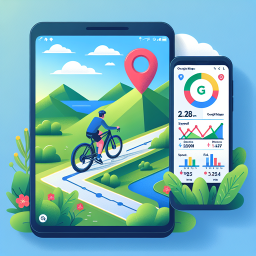
How do I get topographic on Google Maps?
Accessing topographic layers on Google Maps can significantly enhance your understanding of the terrain, whether you’re planning a hike, a road trip, or simply exploring areas virtually. Although Google Maps doesn’t directly offer a topographic view as part of its standard layers, there are creative methods to integrate or find this valuable information.
Utilizing the Terrain Layer
The closest feature Google Maps offers to a topographic view is its Terrain layer. This option, accessible from the layers menu on the right side of the map interface, overlays physical features such as mountains, rivers, and valleys onto the map. While it doesn’t provide traditional contour lines, it uses shading to indicate elevation differences, offering a pseudo-topographic perspective. To switch to this view, simply click on the layers icon and select Terrain from the options presented.
Exploring Third-Party Tools
Several third-party websites and tools have been developed to overlay actual topographic information on top of Google Maps. These tools utilize the Google Maps API to project topographic data onto the map, providing a more detailed elevation view. Some popular platforms include «CalTopo» and «Gaia GPS», which cater specifically to outdoor enthusiasts who require detailed topographic maps for navigation and planning. Please note, while these tools are helpful, always verify the data’s accuracy and timeliness, especially if using it for critical navigation purposes.
Integrating topographic information into Google Maps enhances the app’s utility for detailed planning and exploration. Whether through Google’s own Terrain layer or through third-party tools, users have possibilities at their fingertips to visualize elevation and landscape details. Such enhanced features complement the already robust navigational capabilities of Google Maps, providing a richer, more informed mapping experience.