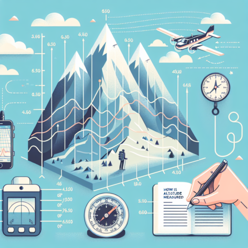
How does altitude get measured?
Measuring altitude is an essential aspect of geography, navigation, and various scientific investigations. Altitude, or elevation, refers to the height of a location in relation to sea level or the earth’s surface. Understanding the methods used to measure altitude provides insights into the complexities of earth sciences, and the tools and technologies involved in this process are both diverse and fascinating.
Barometric Pressure Measurements
One of the primary methods for measuring altitude involves analyzing barometric pressure. This technique relies on the principle that air pressure decreases as altitude increases. Altimeters, tools specifically designed for this purpose, are widely used in aircraft and by mountaineers. These devices calculate altitude by comparing the measured pressure to known sea-level pressures. The accuracy of barometric measurements can be influenced by weather conditions and temperature, which makes calibration against a known altitude or sea-level pressure essential.
GPS Technology
Global Positioning System (GPS) technology represents a modern approach to determining altitude. GPS devices calculate one’s position and height by triangulating data received from a network of satellites orbiting the Earth. This method provides remarkably accurate altitude measurements, making it indispensable for applications ranging from aviation to hiking. However, the effectiveness of GPS in calculating altitude can be somewhat limited in areas with dense tree cover or deep valleys, where satellite signals may be obstructed.
In essence, the quest to understand ‘How does altitude get measured?’ reveals a blend of old and new technologies. From barometric pressure measurements to the use of advanced GPS technology, the approach taken can vary significantly depending on the requirements of the task at hand and the precision needed. As technology advances, we are likely to see further innovations in how we measure and understand altitude.
No se han encontrado productos.
What is the most accurate way to measure altitude?
Measuring altitude accurately is crucial in various fields, including aviation, hiking, and meteorology. While several methods exist, technological advancements have made some more accurate than others. Let’s explore the most precise ways to determine altitude, focusing on the importance of accuracy in measurements.
GPS Technology: The Modern Standard
The advent of Global Positioning System (GPS) technology has revolutionized altitude measurement. GPS devices calculate altitude by triangulating signals from multiple satellites, offering a remarkable level of accuracy. In ideal conditions, high-quality GPS devices can achieve altitude precision within a few meters. However, it’s important to note that GPS effectiveness can vary depending on signal obstructions like tall buildings or dense forests.
Barometric Pressure Sensors: Nature-Inspired Precision
Another highly accurate method involves barometric pressure sensors. These sensors measure the atmospheric pressure, which decreases as altitude increases. By calibrating the sensor at a known altitude, it can provide precise altitude measurements. This method is especially valued in hiking and aviation, where slight altitude changes can be critical. However, its accuracy can be affected by weather changes, necessitating frequent recalibrations.
In summary, while GPS technology and barometric pressure sensors are among the most accurate ways to measure altitude, each has its strengths and limitations. The choice between them often depends on the specific requirements of the task at hand, such as the need for precision, the environment, and potential signal interferences.
What is the unit of measurement for altitude?
The unit of measurement for altitude is primarily determined by the context in which it is being measured. In the aviation sector, feet (ft) or meters (m) are commonly used to express altitude, with feet being more prevalent in countries using the imperial system and meters in those adopting the metric system. These units provide a direct quantification of the distance above a standard datum plane, usually mean sea level.
Feet as a Measure of Altitude
In countries like the United States, altitude is predominantly measured in feet. This unit is favored for its convenience and historical usage within the aviation industry. When altitude is measured in feet, it helps in creating a uniform measurement standard that facilitates international aviation operations, as most aircraft are manufactured with instruments calibrated in feet.
Meters as an Alternative
On the other hand, numerous countries around the world use meters for quantifying altitude, especially those that adhere strictly to the metric system for all measurements. In these regions, the use of meters allows for ease of integration with other metric measurements, ensuring coherence and simplicity in scientific and engineering applications. Meters are particularly prevalent in technical fields where precise measurements are paramount.
Is altitude measured by sea level?
Indeed, altitude is primarily measured by sea level, providing a consistent benchmark across the globe. When discussing altitude, it’s essential to understand that it signifies the height of an object or point in relation to sea level—the average level of the ocean’s surface used as a reference point. This methodology ensures a standardized reference for measuring heights anywhere on Earth, allowing for clear and consistent comparisons.
However, the process of measuring altitude isn’t straightforward due to the Earth’s varying sea level in different areas. Advanced tools and technology, such as GPS (Global Positioning System) and barometers, are now widely employed to achieve more precise measurements. These tools take into account various factors, such as the gravitational pull in different parts of the world, to calculate an accurate altitude measurement from sea level.
Different contexts require distinct approaches to measure altitude. For instance, when piloting an aircraft, altitude measurements are crucial for maintaining safe flight levels, especially in hilly or mountainous terrain. Similarly, mountaineers and hikers rely on accurate altitude measurements to navigate and understand the topography of their surroundings. The common denominator in these scenarios is the use of sea level as the base measurement, demonstrating its universal application in calculating altitude.


