How to see elevation on Google Maps route?
Finding elevation details on a Google Maps route can provide valuable insight, especially for planning hiking or cycling trips. Although Google Maps offers an extensive array of features, elevation details are not directly visible on the basic route information. However, there are ways to determine this important aspect with a bit of know-how.
One method is to utilize the terrain feature on Google Maps. When viewing a map, you can switch to the terrain view by selecting the layers option on the bottom right corner of the screen. This view will show you elevation variations through shading and contours, giving you a rough idea of the terrain on your planned route. While this does not provide exact elevation numbers, it’s a helpful start for understanding the general topography.
Using Third-Party Apps and Websites
For those who require precise elevation data, turning to third-party applications and websites is an excellent solution. Many of these platforms use Google Maps’ API to offer detailed elevation profiles for any given route. By simply entering your start and end points, these tools plot out the elevation changes along the way, often providing key statistics such as total ascent, maximum elevation, and even elevation loss. This can be especially useful for athletes training for specific conditions or for travel planning in areas where elevation might affect mobility.
No se han encontrado productos.
What is the elevation profile of a route?
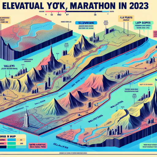
The elevation profile of a route is essentially a graphical representation of the terrain’s altitude along a predefined path. This profile showcases the highs and lows, providing a visual portrayal of the route’s uphill climbs, downhill descents, and flat stretches. Whether you’re hiking, biking, running, or involved in any outdoor activity that covers distance, understanding the elevation profile can be crucial for planning and preparation.
At its core, the elevation profile highlights the total ascent and descent over the distance of a route, offering insights into the route’s difficulty level. For activities like hiking or mountain biking, where elevation gain can significantly impact the effort required, knowing the elevation profile beforehand can help in estimating the time and energy needed to complete the route. It’s a valuable tool for assessing the challenge ahead, allowing adventurers to match routes with their physical condition and experience.
Elevation profiles are typically depicted through line graphs, where the horizontal axis represents the distance covered and the vertical axis indicates the altitude. Peaks on the graph denote high points along the route, while troughs represent low points. Such detailed visualization aids in identifying specific sections that might require extra caution or preparation, such as steep ascents or potential high-altitude challenges. Moreover, it can help in pinpointing other pertinent aspects of a route, like water sources, shade availability, or scenic viewpoints, which are often indicated at relevant points along the elevation profile.
What is elevation in running?
Understanding elevation in running is crucial for athletes and enthusiasts aiming to maximize their training effectiveness. Essentially, elevation refers to the change in altitude a runner experiences during their route. This can significantly impact a runner’s performance, conditioning, and the overall challenge of the course. Whether you are training on hilly terrains or using elevation gain as a measure to increase intensity, incorporating elevation changes can bring a new dimension to your runs.
When runners talk about elevation, they are often referring to the total ascent or descent they tackle during their workouts. Ascent is particularly beneficial for building strength and endurance, as it requires the body to work harder to overcome gravity. This can lead to improved cardiovascular fitness and leg muscle strength. On the other hand, running downhill (descent) can teach runners how to properly control their pace and improve their balance and coordination. However, it’s important to approach downhill running carefully to avoid injury.
Impact of Elevation on Performance
The impact of elevation on a runner’s performance cannot be overstated. Running at higher altitudes, where the air is thinner, poses a greater challenge to the body’s ability to oxygenate the muscles. This can lead to faster fatigue and increased effort even at slower paces. However, over time, training at elevation can enhance a runner’s endurance and efficiency by forcing the body to adapt to less oxygen. This is why many elite runners include high-altitude training in their regimen, despite the initial hardships it may present.
How to map a 10k run?
Planning a 10k run involves a mix of strategic route planning, understanding your fitness level, and knowing what you want to get out of your running experience. Whether you’re preparing for a race or just looking for a new challenge, mapping out your route effectively can make all the difference.
Firstly, consider using online tools and apps designed for runners. Platforms such as Strava, MapMyRun, and Google Maps offer features that allow you to plot courses, measure distances, and even evaluate terrain and elevation. This technology can help you create a 10k route that matches your training goals, whether it’s flat and fast for time trials or hilly and challenging for strength building.
Key Elements to Consider
- Scenery: Choose a route that will keep you motivated. A scenic path can enhance your run, making your 10k feel less daunting.
- Safety: Safety should always be a priority. Pick well-lit routes, preferably with wide sidewalks or pathways dedicated to runners and cyclists.
- Access to Water: For longer runs, especially in warm weather, ensure your route has access to water stations or plan to carry hydration with you.
Mapping your 10k run is not just about the physical distance; it’s about creating an experience that is both challenging and enjoyable. Take the time to explore different routes, mix up your terrain, and focus on routes that will help you progress towards your fitness and running objectives.


