No se han encontrado productos.
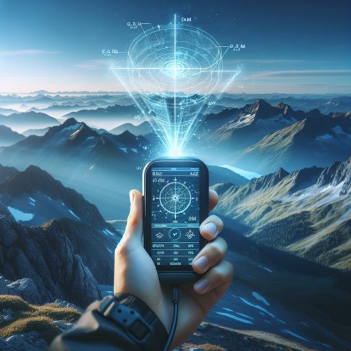
How accurate is elevation with GPS?
The accuracy of elevation data obtained through GPS technology has been a topic of growing interest and investigation. GPS, or Global Positioning System, primarily offers location data in terms of latitude and longitude. However, it can also provide elevation or altitude information, albeit with varying degrees of precision. The standard accuracy of elevation obtained through a consumer-grade GPS device is typically within 15 meters (about 50 feet) of the actual position. This level of precision is influenced by several factors including the type of GPS receiver, the quality of the GPS signal, and the methodology used to calculate elevation.
Key Factors Affecting GPS Elevation Accuracy
The precision of GPS-based elevation measurements can be swayed by both environmental conditions and the technological capabilities of the GPS device itself. For instance, the number of satellites a GPS receiver can connect with significantly impacts its accuracy. Generally, a greater number of satellites improves the reliability of the elevation data. Additionally, the quality of the GPS signal is susceptible to interference from atmospheric conditions, physical obstructions like buildings or trees, and the angle of the satellite signals reaching the receiver. Furthermore, advanced GPS systems that utilize augmentation systems such as WAAS (Wide Area Augmentation System) in the United States can enhance elevation accuracy, reducing errors to below 3 meters.
Improving Elevation Accuracy
To enhance the accuracy of elevation data, users can employ a range of techniques and technologies. One effective approach is the use of differential GPS (DGPS), which corrects GPS signal errors by comparing the readings from two GPS receivers, one of which is in a known location. Another method involves integrating GPS data with barometric altimeter readings, which can provide more accurate elevation measures under certain conditions. Moreover, professional-grade GPS devices, designed for geological and surveying purposes, offer significantly higher accuracy compared to standard consumer models.
In summary, while GPS technology offers a convenient means to obtain elevation data, the accuracy of this information can vary largely depending on several factors. Understanding these elements and applying tools and techniques to mitigate errors can greatly improve the reliability of GPS-based elevation measurements.
Is GPS altitude true altitude?
When discussing GPS altitude, one common question that surfaces is whether it reflects the true altitude. It’s essential to understand the nuances of GPS technology to grasp the accuracy of the data it provides. GPS systems primarily calculate altitude by triangulating signals from satellites orbiting the Earth. However, this method introduces some complexities when defining what we consider as «true altitude.»
Understanding GPS Altitude Measurements
GPS devices calculate altitude based on a mathematical model of the Earth’s shape, known as the WGS84 ellipsoid. This model approximates the Earth’s surface but does not perfectly align with the actual geoid or the mean sea level, which can lead to discrepancies in measuring the true altitude. The difference between the ellipsoid height and the true elevation above sea level can be significant, depending on the geographical location.
The Impact of Geoid Models on Altitude Accuracy
To address these discrepancies, modern GPS systems often incorporate geoid models that help adjust the ellipsoid altitude to closer represent the true altitude. By comparing the GPS-measured altitude against a geoid model, the device can provide a more accurate estimation of the actual height above sea level. However, the precision of this adjusted altitude still depends on the quality of the GPS receiver, the number of satellites in view, and the geoid model used.
What is the uncertainty of GPS altitude?
The uncertainty of GPS altitude refers to the margin of error or degree of imprecision associated with the altitude data provided by Global Positioning System (GPS) technology. Unlike the more accurate latitude and longitude measurements GPS devices offer, determining an object’s altitude comes with greater challenges. This variation in precision stems from the inherent design and working principles of the GPS network, as well as external environmental factors that can interfere with signal accuracy.
Geometric Dilution of Precision (GDOP) greatly influences the accuracy of GPS altitude measurements. This phenomenon occurs when the satellites a GPS receiver is locked onto are closely clustered in the sky, rather than spread widely. For altitude estimations, the arrangement of satellites has a profound impact, more so than for horizontal positioning. Since most GPS satellites orbit in paths optimized for latitudinal and longitudinal data, the geometry is less favorable for vertical measurements, leading to increased uncertainty.
Furthermore, altitude measurement accuracy is also compromised by atmospheric conditions. Various layers of the Earth’s atmosphere can delay GPS signals, altering their speed and path before reaching a receiver. While sophisticated models exist to correct some of these atmospheric effects, they cannot eliminate all inaccuracies. Additionally, local environmental factors, such as urban canyons or dense foliage, can reflect and distort GPS signals, further complicating altitude determinations.
Which is more accurate, GPS altitude or barometric altitude?
When it comes to deciding which is more accurate, GPS altitude or barometric altitude, it’s important to understand that each system measures elevation using fundamentally different principles, and their accuracy can be influenced by numerous factors. GPS altitude is derived from satellite data, calculating your position relative to the satellites orbiting the Earth. This method is widely used due to its global availability and the convenience of GPS devices. However, GPS altitude can sometimes be less accurate than barometric altitude, especially in areas with weak satellite signals or in environments with significant physical obstructions, such as deep valleys or dense urban areas.
On the other hand, barometric altitude is measured using atmospheric pressure. It correlates the pressure at a given point with a corresponding altitude, based on the principle that atmospheric pressure decreases predictably as altitude increases. This method can offer greater precision than GPS in certain conditions, particularly when calibrated against a known altitude. However, its accuracy is significantly impacted by changes in weather patterns, which can alter atmospheric pressure and, consequently, affect the barometric altitude readings.
In environments where both GPS and barometric data are available, devices often fuse these data sources to enhance the overall accuracy of altitude measurements. This hybrid approach compensates for the limitations inherent in each system, leveraging the global coverage of GPS and the potential for high precision in barometric readings. While each method has its advantages and can claim superiority under specific circumstances, the choice between GPS and barometric altitude ultimately depends on the context of use, including the geographical location, the presence of physical obstructions, and atmospheric conditions.