What is a distance tracker?
A distance tracker is a sophisticated tool designed to measure the length of the journey traveled, whether it’s for walking, running, cycling, or any mode of transport. By employing advanced technology, including GPS and motion sensors, distance trackers offer users a precise measurement of their traveled paths. This functionality not only helps in setting fitness goals but is also essential for planning routes in various outdoor activities.
The core of a distance tracker’s utility lies in its ability to provide real-time feedback. Users can monitor their progress, understand their performance patterns, and adjust their efforts accordingly. This immediate insight encourages a more engaged and informed approach to both exercise and navigation. Furthermore, many distance trackers come with integrated features such as speed calculation, caloric burn estimation, and activity logging, enhancing the user experience.
Integration with smartphones and computers has expanded the functionality of distance trackers exponentially. Syncing data across devices allows users to track their progress over time, set goals, and share achievements with a community. This connectivity fosters a motivating environment for continuous improvement and can significantly increase the recreational and competitive enjoyment of outdoor activities.
Does Google Maps have a distance tracker?
Yes, Google Maps is equipped with a feature that allows users to measure distances directly within the app. This functionality is designed to help users determine the exact distance from one point to another, making it a valuable tool for planning routes, walks, runs, or any travel distance. By harnessing this feature, users can map out specific routes and receive accurate measurements in either kilometers or miles, depending on their preference.
To access the distance tracking feature in Google Maps, users simply need to enter the app, select a starting point, and then choose another point they wish to measure the distance to. Google Maps offers the flexibility to add multiple stops along the route, enabling a detailed calculation of the total distance. This is especially useful for outdoor enthusiasts, travelers, or anyone needing to gauge the distance between multiple locations.
Apart from its practical applications in daily navigation and travel planning, this distance tracker tool is also invaluable for fitness enthusiasts who wish to measure the length of their running or biking paths. Despite its benefits, it’s important for users to note that the accuracy of the distance measured can vary depending on the data available to Google Maps and the specificity with which the points are placed on the map.


How can I track my running distance?
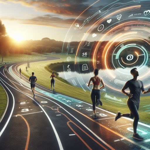
Tracking your running distance has become an essential part of fitness routines for many athletes and casual runners alike. With the advancement in technology, there are now a number of ways to measure how far you run, helping to improve performance, set goals, and monitor progress over time.
Using GPS Running Watches
One of the most accurate ways to track your running distance is by using a GPS running watch. These devices use satellite technology to measure the distance you have covered during your runs. Most GPS watches also come with additional features such as pace tracking, heart rate monitoring, and personalized training plans, making them a valuable tool for any runner looking to closely monitor their training.
Mobile Running Apps
Another popular method for tracking running distance is through mobile running apps. These apps use your smartphone’s GPS to track your route and distance. Many running apps also offer features like audio cues, detailed post-run analysis, and social sharing options, allowing runners to stay motivated and connected with their fellow runners. Popular running apps include Strava, Runkeeper, and Nike Run Club, each offering unique features to enhance your running experience.
Regardless of which method you choose to track your running distance, the most important factor is consistency. Regularly monitoring your runs will provide you with valuable data, helping you understand your performance better and achieve your running goals more effectively.
How do you track distance between two places?
Tracking the distance between two places is a task that has been greatly simplified with the advent of digital technology. One of the primary methods utilized for this purpose is through the use of GPS (Global Positioning System) technology, which can accurately calculate distances by triangulating positions from satellites orbiting the Earth. This method is not only used by various mapping and navigation apps on smartphones and GPS devices but is also instrumental in various fields such as logistics and transportation.
Using Online Mapping Services
Online mapping services like Google Maps, Apple Maps, and Bing Maps are among the most popular and easy-to-use tools for measuring distances. These platforms offer detailed geographic data and have features that allow users to enter starting and ending points to receive exact distances and directions, often with alternatives for different modes of transportation. Furthermore, many of these services offer street view functionalities, helping users to visualize their routes more effectively.
Smartphone Apps and GPS Devices
In addition to online mapping services, dedicated smartphone apps and standalone GPS devices offer sophisticated features for tracking distance. Fitness and sports applications, for example, leverage GPS technology to help users track their running, cycling, or hiking distances in real-time. These apps often come with additional capabilities such as step counting, pace tracking, and even elevation change, making them invaluable tools for fitness enthusiasts looking to monitor their progress.
Whether it’s preparing for a road trip, planning a workout route, or simply satisfying one’s curiosity about distances between places, leveraging these digital tools has made the process incredibly straightforward and precise. By utilizing GPS technology, online mapping services, and specialized apps, individuals can easily obtain accurate distance measurements, enhancing their navigation and planning capabilities.